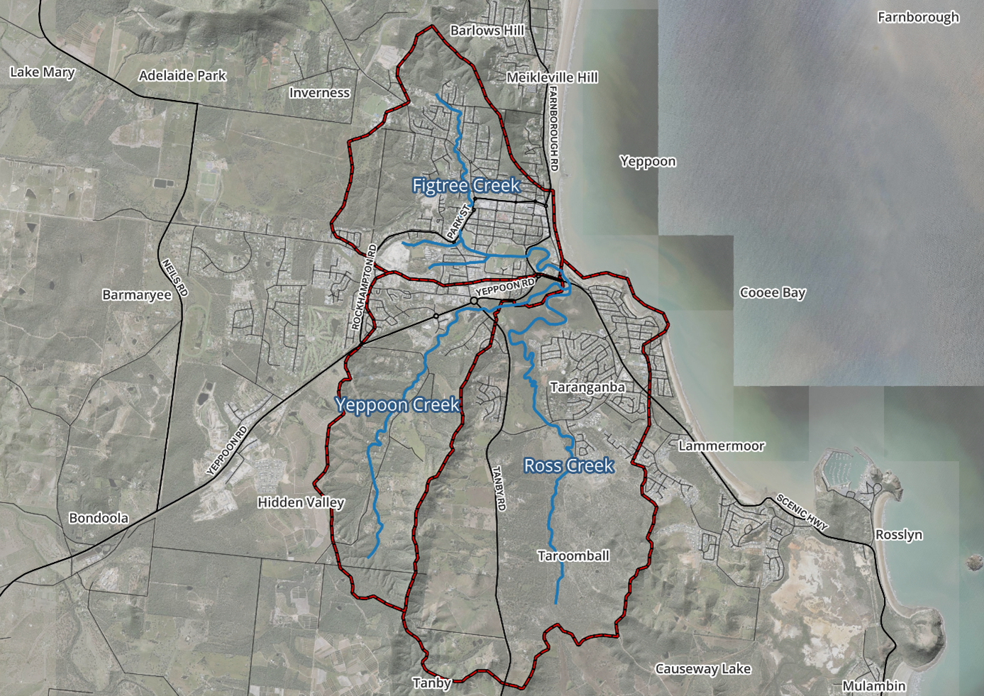
Livingstone Shire Council is undertaking a Flood Study for the local catchments of Figtree Creek, Ross Creek, and Yeppoon Creek, which are located in the central Yeppoon area.
What is this study?
This study will measure the nature and extent of the existing local flooding conditions, using updated data (such as development changes) and industry practices that have been developed since the previous studies in the area. This will allow council to understand the change in risk of flooding in the catchments, how it interacts with storm surges and use this information to inform future decision making. This will also be the first time climate change impacts have been explicitly incorporated into the flood study.
Map of catchments included in the Figtree, Ross and Yeppoon Creeks Flood Study.