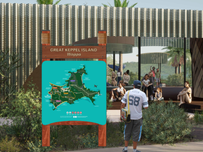
The Great Keppel Island (Woppa) Wayfinding and Interpretative Signage project is an initiative to enhance navigation and visitor experience on Great Keppel Island by implementing a clear, cohesive signage system.
The project ensures that visitors can easily locate and navigate to key attractions, amenities, and transport points while learning about the island’s unique cultural and natural heritage.
Key features of the Great Keppel Island (Woppa) Wayfinding and Interpretative Signage project include:
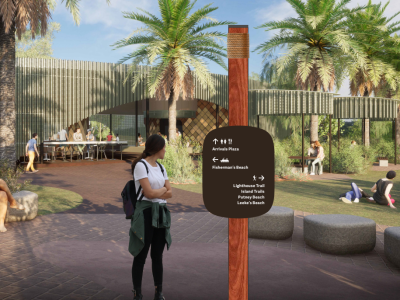
- Directional Signage: Clear and easy-to-read signs placed at strategic points to guide visitors to beaches, trails, amenities, and other significant locations.
- Interpretative Markers: Informative displays sharing the cultural, historical, and environmental stories of the island including recognition of Woppaburra heritage.
- Accessible Design: Signage that meets universal design standards ensuring usability for all visitors, including those with disabilities.
- Environmentally Conscious Materials: Durable, sustainable materials that withstand the island’s coastal environment while minimizing ecological impact.
- Digital Integration: Potential inclusion of QR codes or interactive elements to provide visitors with additional information and updates.
Who we worked with
In December 2025, the wayfinding component of this project was completed. The remaining interpretative and welcoming signage will be delivered as part of the Great Keppel Island Arrivals Plaza project.
Design
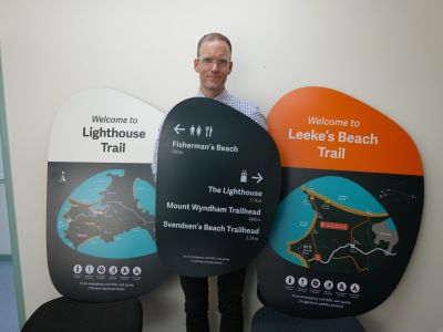
DotDash developed a signage suite for the wayfinding and interpretative signage project. The signs were designed to meet wayfinding principles, standards, and regulatory requirements, and include safety input from the Queensland Police Service.
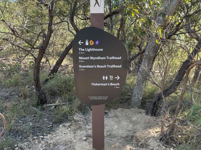
A central spine was identified to improve clarity for hikers and align with existing, informal usage.
The signs were made of aluminium coated in micaceous iron oxide paint. This is a durable outdoor-grade material to help it last in island conditions.
Fabrication
Danthonia Designs delivered the manufacturing component for the wayfinding and interpretative signage project. They manufactured the signs to be long lasting, while also allowing for easy replacement if needed.
Installation
Trailworx completed the installation for the wayfinding and interpretative signage project in December 2025. This required a lot of manual installation due to the remote locations along the trails.
Do you have a question about the Great Keppel Island (Woppa) Wayfinding and Interpretative Signage project? Ask us here...
To ask a question you must create an account or log in.
These are the people that are listening and responding to your questions.

LSC Engagement Team
{{question.description}}


